I'm only 4 months late in talking about this trip. The following jaunt spanned the end of March and ended in early April - typically a bit before the spring run-off (which was oh so short/non-existent this year) and, more importantly, before the crowds.
We dropped in at a lonely Ruby Ranch, two twelve foot rafts and a tandem ducky. The nip of a cold winter in the four corners still could be felt, but so to could the cutting edge of seasonal transition. Spring is a magical time to travel in these parts.

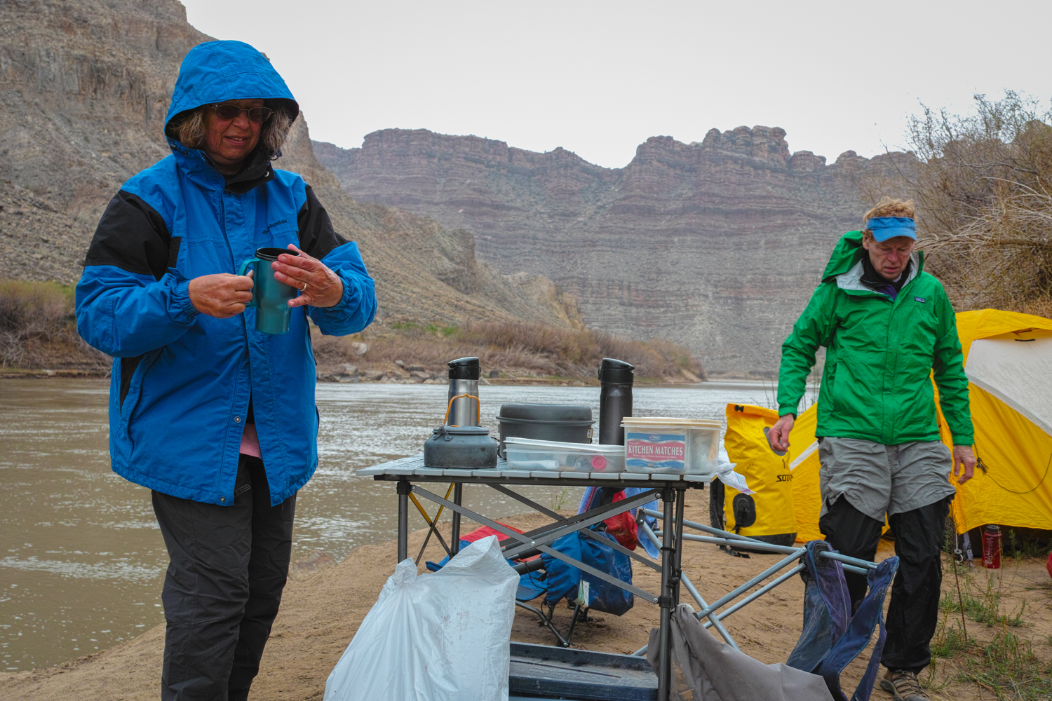
The river was anemic, flows below typical and the impending "melt" did little for the Colorado basin this year. Another few years like this and the turbines will stop spinning at Glen Canyon.
Like the changing season, it takes a little while to get into the mindset of a shoulder season float. Transitioning from the daily hustle and bustle (how insignificant it seems) to a routine of loose logistics and flexible itineraries gives one pause to the absurdity of so much of our daily lives.

The first "section" of this trip entailed drifting through Labyrinth Canyon. Initially. the passing farmlands gave way to ever increasing sandstone walls. Little current and no whitewater made for lazy slow miles with plenty of time for gawking.

Having read Colin Fletcher's account of his solo source to sea Green River/Colorado trip while waiting the winter out on the reservation I can understand why he identified so much with the stretch below Desolation Canyon up to Cataract Canyon. Taking his trip solo late in life with nearly no whitewater experience the rapids of Lodore Canyon to the north (and to a lesser extent Desolation Canyon) and Cataract Canyon to the south garnered his full attention and focus pre trip. As a result, the quiet interlude of Labyrinth and Stillwater provided a much needed aesthetic and spiritual respite during his journey. A welcome and cherished surprise.
 |
| 3 Blue Herons |
The camping on the upper stretch was quite nice and abundant. Many spots high above the river offered easy carry with substantial views. Tons of side hiking makes return trips necessary.

Half way to Mineral Bottom lies the "River Registry." An assortment of many (historical) petroglyphs smattered all over a nice chunk of Navajo sandstone on canyon left. Many of them are historical dating back to the late 1800's and some requiring and incredible amount of tedious labor. While fascinating, I find the aesthetic lacking in comparison to the work of the Anasazi.

Onward!

Mineral Bottom (nice take-out/access) denotes the first change. The end of Labyrinth Canyon and the start of Stillwater Canyon. Stillwater runs through the heart of the Island in the Sky district of Canyonlands. The "White Rim" formation can be seen in its humble beginnings in this shot, Buttes of the Cross in the distance.

This new formation requires closer inspection as it grows.

And more thorough examination.

Despite cutting its path through a National Park this section of the Green makes for tough camping. The Tamarisk have so thoroughly invaded all shore line that sand bars offered the only respite for stopping. The Park Service unfortunately has quite the daunting task on their hands in ridding the banks of this invasive plant.
 |
| Wall to wall tammies - notice the required sand-bar dodging due to feeble flows |
 |
| Can you see it? |
 |
| A small tower in the crescent shaped crack half-way up the canyon wall. |

The last ten miles of canyon before the Confluence of the Green and Colorado are particularly interesting/impressive.

Eventually, after an arduous slog battling immense upstream winds with little current we reach the confluence.
 |
| The Green coming in on the L and the Colorado on the R |
.jpg)
We spend the latter half of the first day getting gear ready for the return shuttle and sorting the hiking gear. The next morning we shove off across Spanish Bottom, heading for the Dollhouse.

We find the trail up.


Had I not known there had been a trail up the scree laden hillside I would not have believed it. But a fine trail it was, and before you knew it we were standing at the entrance to the Doll House.


We made our way to Chimney Rock and quickly bedded down on the sandstone to avoid the ensuing wind and rain.

After shelter was securely in place we fanned out in different directions to have a look around.
.jpg)
The dramatic light made for an incredibly memorable evening. We tucked in just before dark, and when I woke up I had to rub my eyes to make sure what I saw and where I was were real.

Not a bad spot for breakfast.

Making our away along the Pete's Mesa Route/Jasper ridge made for easy walking and sustained incredible views. Stopping just to take a gander was a frequent occurrence.

Eventually we found the spot where we could access the innards of the Maze and make our way to Pictograph Fork.

Reaching the canyon bottom we trudged on in deep sand. At the mouth of Pictograph fork we found a large spring and topped off our water supply.


Another bit of hiking brought us to the source of inspiration for this trip. The Harvest Scene.

The life-sized anthropomorphs were unlike any we'd ever seen and had been on our collective life lists for some time. A nice shady patch (tammies) directly across from the panel provided a great place to sit and contemplate. We spent a large period of time here before the wind kicked up and ushered us back out of the canyon.
By the time we were back on the Mesa the winds were a-howling and rain looked like a real possibility. We tucked in behind a large slab of rock and hunkered down for the night.

Despite the weather the views were anything but boring. Here are the Chocolate Drops, silhouetted

The next morning we awoke to much of the same. A large weather system was moving in and we took off for Spanish Bottom and the comforts of our VE-25.

When we reached the trail down to Spanish Bottom we were afforded dramatic views cross canyon to the Needles District of Canyonlands. From this view it appeared that the storm was headed our way.

We had less than a quarter mile to go when the skies opened up and a violent rain thundered down. We reached our base camp, threw out wet gear into the tent vestibules and battened down.
The next morning the jet boat arrived early and somehow we made all the gear fit. Next time I do this trip will be in a kayak or a packraft. All in all a wonderful 12 days spent with my folks. A great preamble for things to come.


